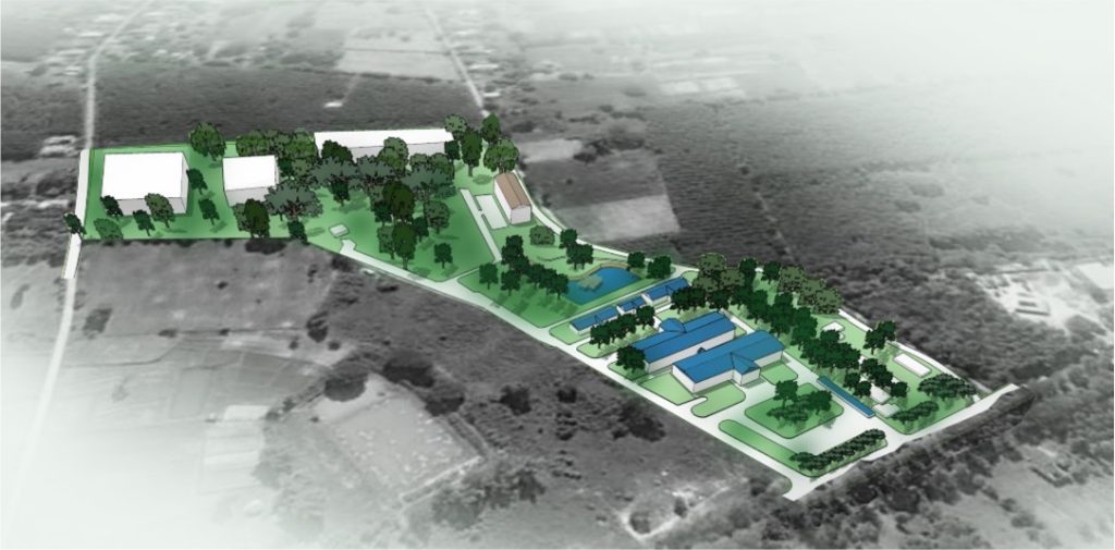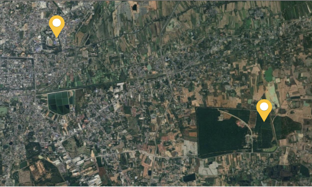
Nakhon Ratchasima Province
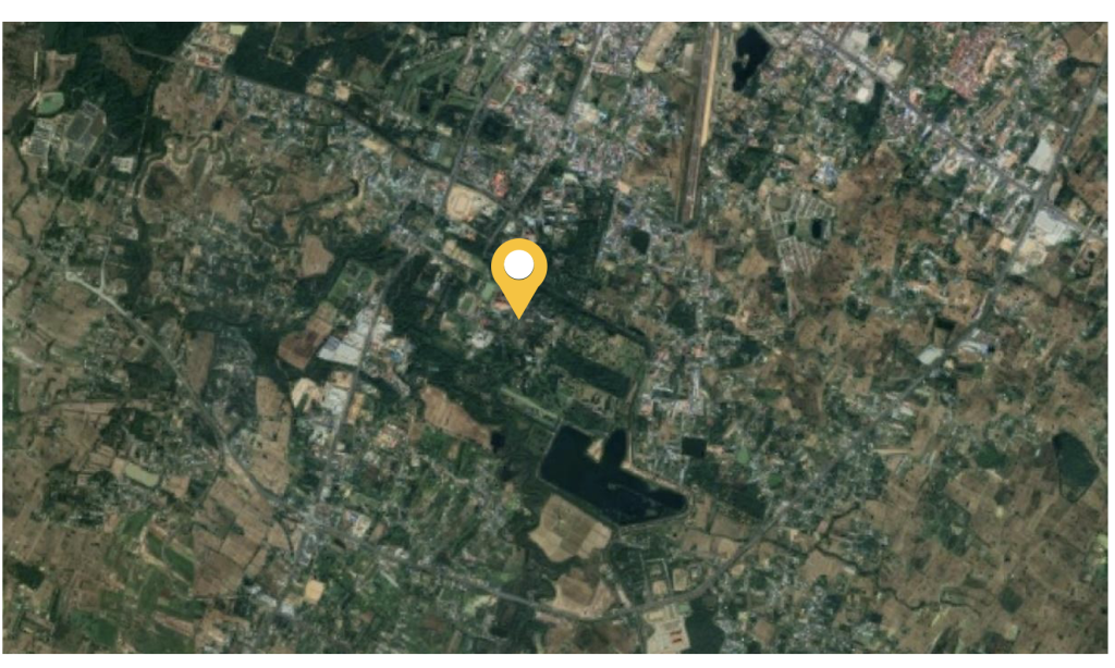
Nakhon Ratchasima Province is located in the Northeast. On the Korat Plateau, 15 degrees north latitude. Longitude 102 degrees East, 187 meters above mean sea level, Nakhon Ratchasima City is one of the 32 districts of Nakhon Ratchasima province, home to the city hall and various government offices, and is the center of the province’s prosperity with an area of 755.60 square kilometers and a total population of 439,466. This means a low population density of 582 inhabitants per square kilometers.
Surin Province
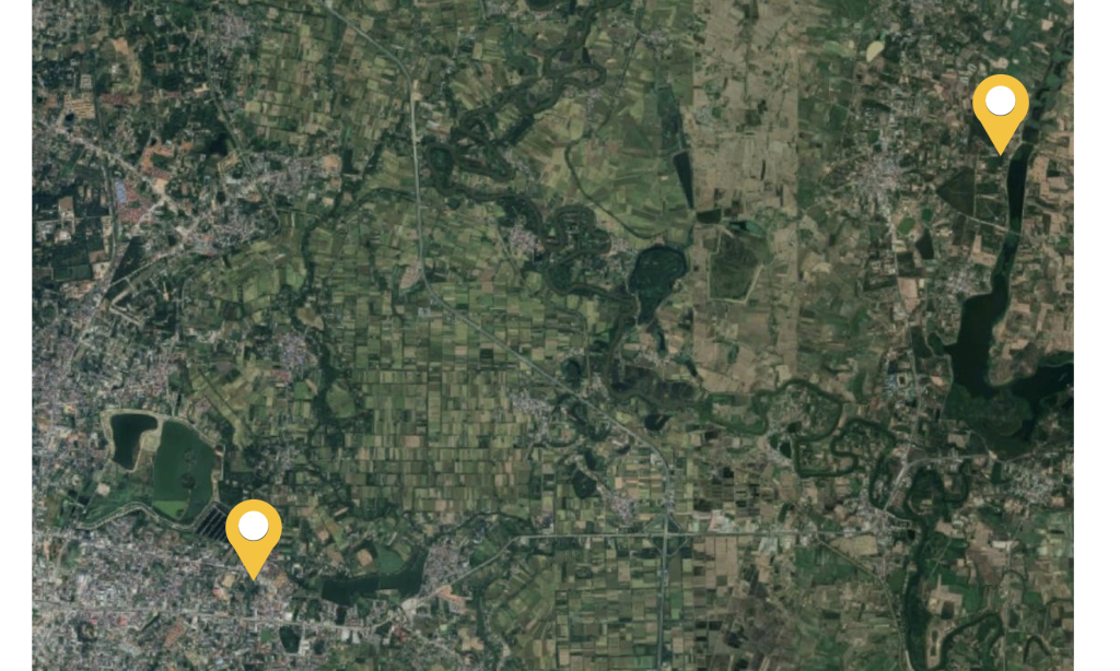
Surin Province is located in the lower part of the northeast. Between longitude 103 and 105 degrees east, latitude 15 and 16 degrees north. Mueang Surin is a district of Surin province and is the administrative, economic, and transportation center of the province. and is the center of the province’s prosperity with an area of 1,066.25 square kilometers and a total population of 257,605. This means a low population density of 241 inhabitants per square kilometers.
Khon Kaen Province
Khon Kaen is the 6th largest province in the Northeast and the 3rd most populous in the Northeast. Khon Kaen Municipality is a municipality Located in Mueang Khon Kaen District, Khon Kaen Province, it is the 3rd most populous urban area in the Northeast. After Udon Thani and Nakhon Ratchasima and 11th largest in Thailand, and is the center of the province’s prosperity with an area of 953.4 square kilometers and a total population of 412,758. This means a low population density of 1,121 inhabitants per square kilometers.

Sakon Nakhon province
Sakon Nakhon is a province in the Upper Northeast located in the Sakon Nakhon Basin and is the operation center of the Upper Northeastern Province Group 2, which has been a source of community since prehistoric times until the present. Sakon Nakhon is also an important and diverse city in various aspects, especially in terms of natural environment, history, society, politics, religion, and culture, both at the national and local levels,[3], and is a center for human resource development and education. This is the location of large educational institutions in Sanook Province (Sakon Nakhon, Nakhon Phanom and Mukdahan). Amphoe Phang Khon It is located almost in the middle of Sakon Nakhon province and is another very prosperous district, second only to Mueang Sakon Nakhon and Sawang Daen Din districts, considered the center of trade and transportation in the central part of the province, and is the center of the province’s prosperity with an area of 383.8 square kilometers and a total population of 52,422 . This means a low population density of 137 inhabitants per square kilometers.

Roi Et province
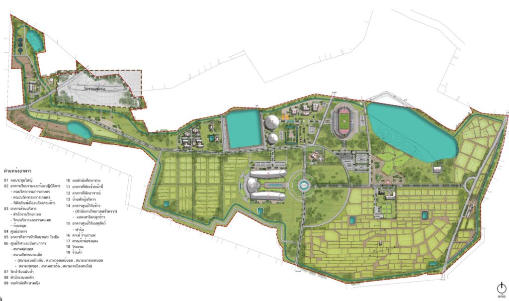
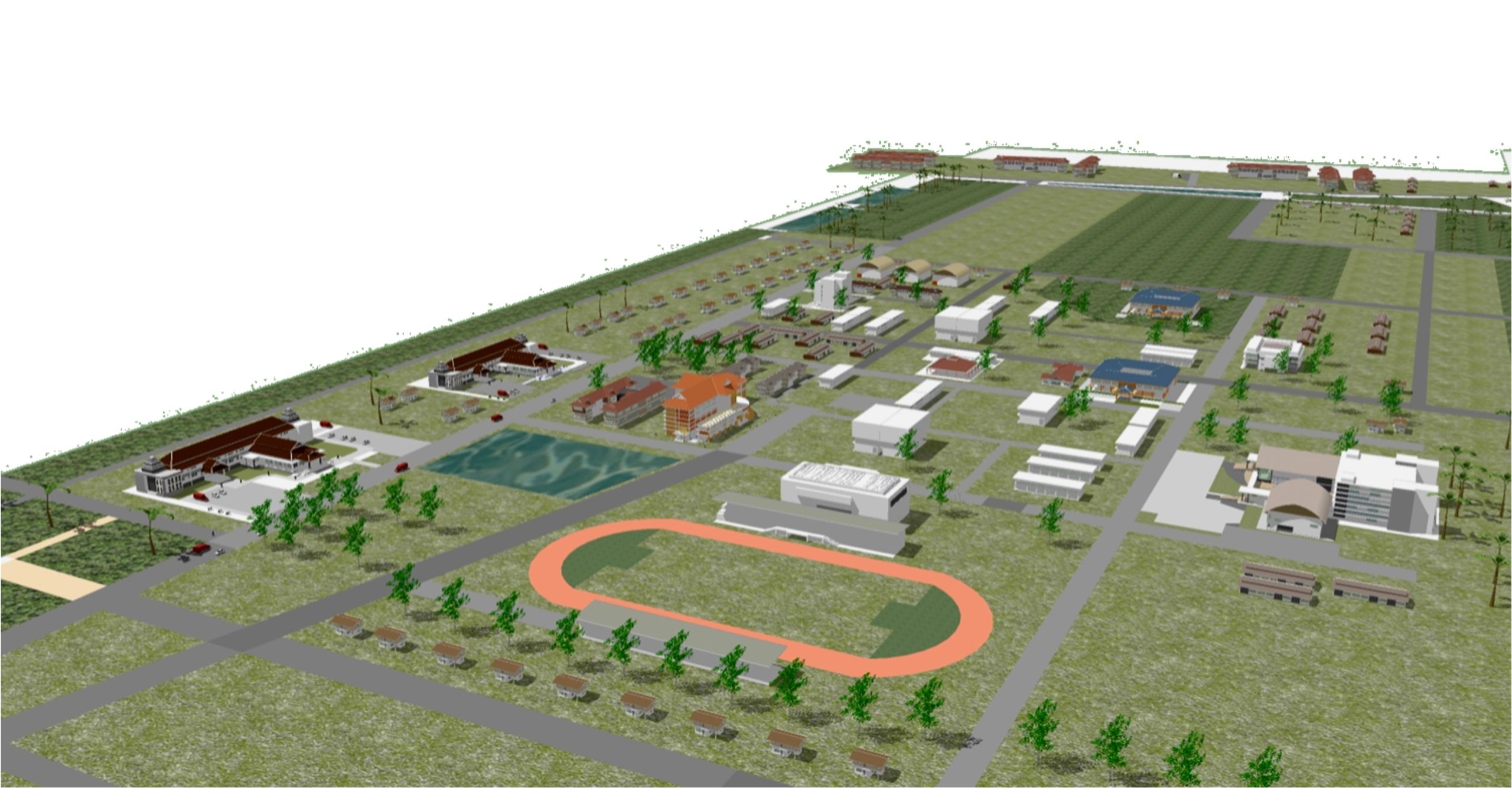
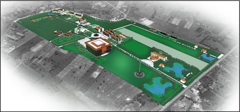
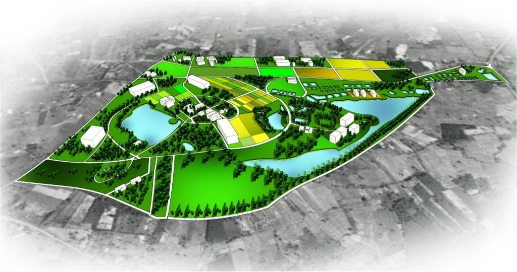
Project to establish Thung Kula Rong Hai Campus, Roi Et Suwannaphum is the largest district in Roi Et Province. It is the center of transportation, administration, education and economy of the southern districts of Roi Et Province. It is also the second most developed district after Mueang Roi Et District. Suwannaphum District was originally the location of Thong Si Phum City. It used to be a large area covering almost the entire area of Roi Kaen and Sarasin Provinces and parts of Buriram, Si Sa Ket, Surin, Yasothon, Ubon Ratchathani, Chaiyaphum and Udon Thani. Thong Si Phum City used to be part of the Lan Xang Champasak Kingdom, founded by Phra Chao Soi Sri Samut Phutthangkun in 2256. Later, it came into the territory of the Ayutthaya Kingdom in 2308 until the Thonburi Kingdom in 2310 and was renamed Suwannaphum City in 2315. Later, it was demoted from a first-class city. (equivalent to a province) was “Suvarnabhumi District” in 1908. It is currently divided into 15 sub-districts with a population of 116,015 people in 2019.
